Forested mountain ridges above Malico, Nueva Vizcaya, where alder has been planted to reforest the slopes
Tanim tayo, ano tara?

Empowering Reforestation through Data Driven Decisions

Monitor Reforestation initiatives, visualize planting sites, and receive tree species recommendations based on your location and site conditions and many more features to help you make informed decisions for your reforestation projects.
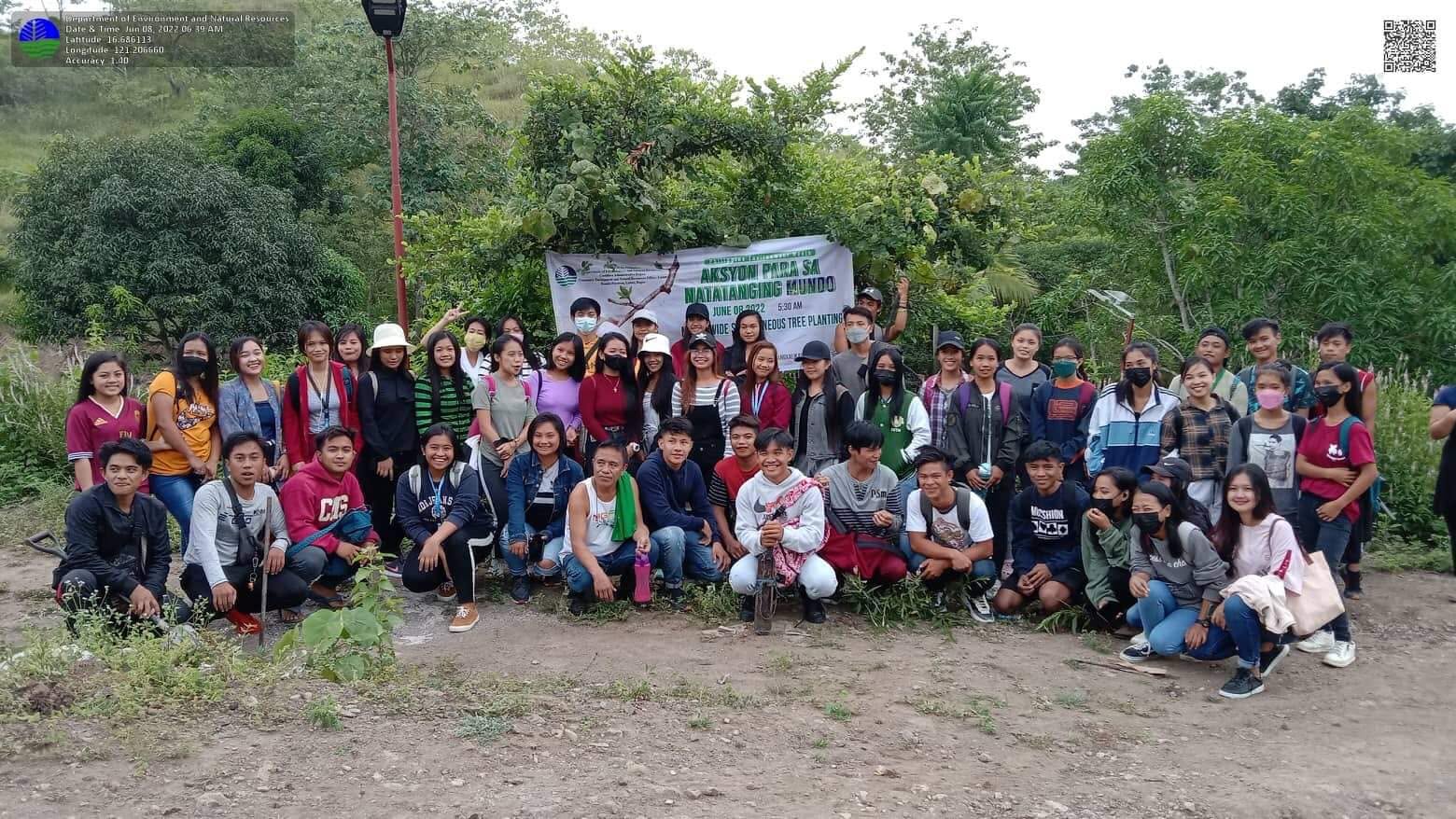
Participants gathered for a group photograph in front of a tree planting banner at a DENR field activity
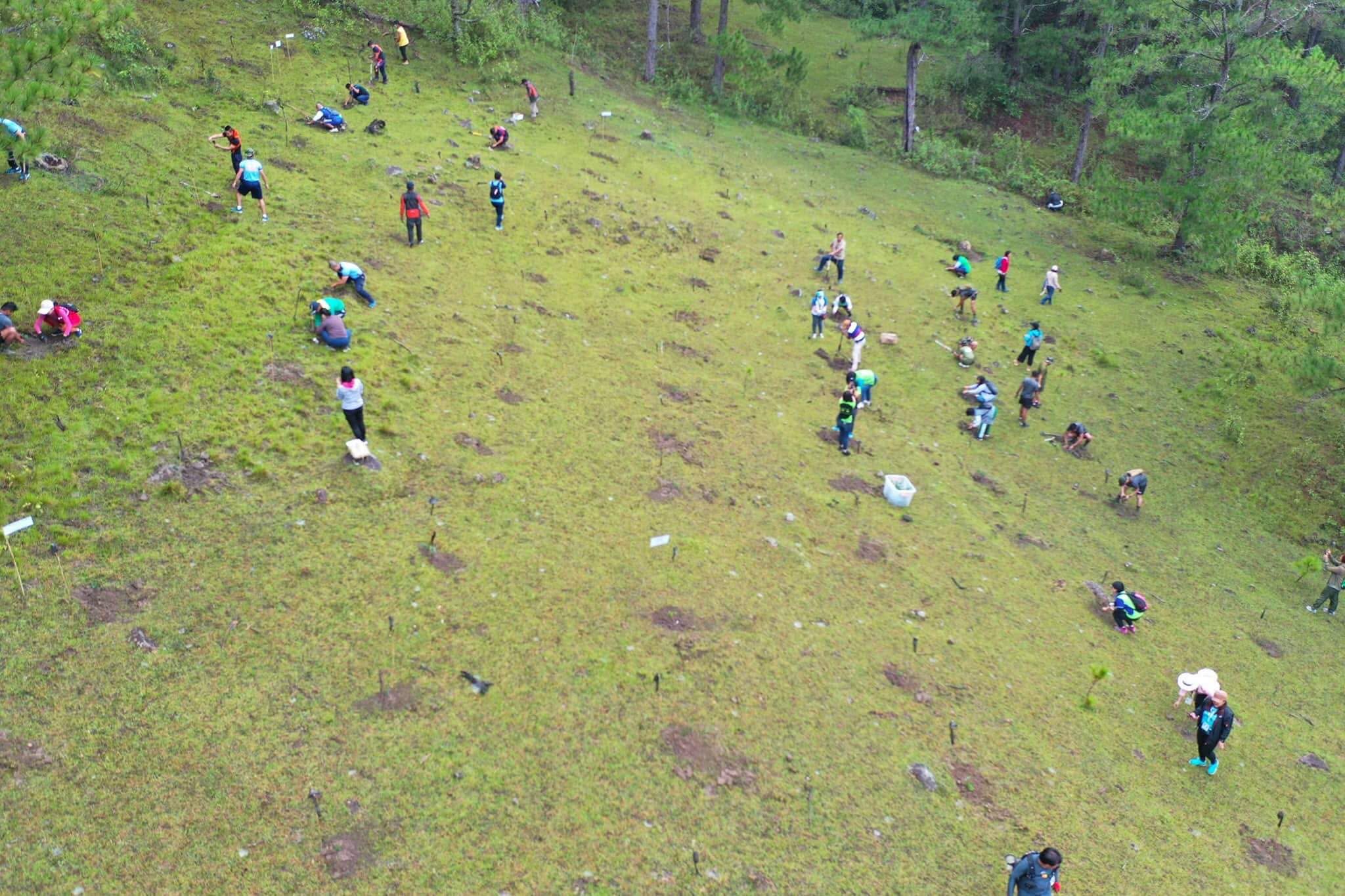
Aerial view of volunteers spread across a grassy slope, each digging and planting a seedling
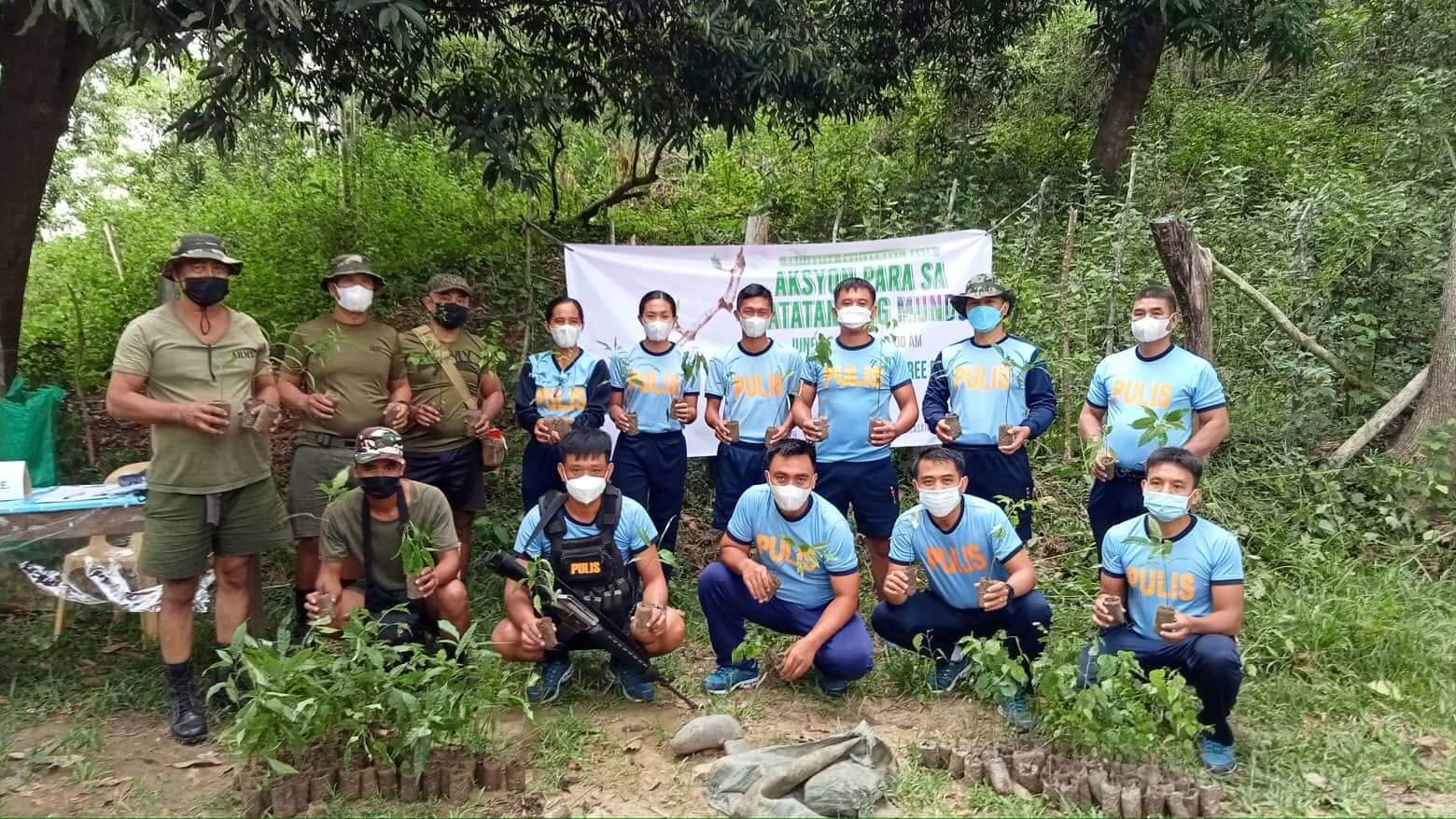
Uniformed personnel holding potted seedlings before a tree planting activity begins
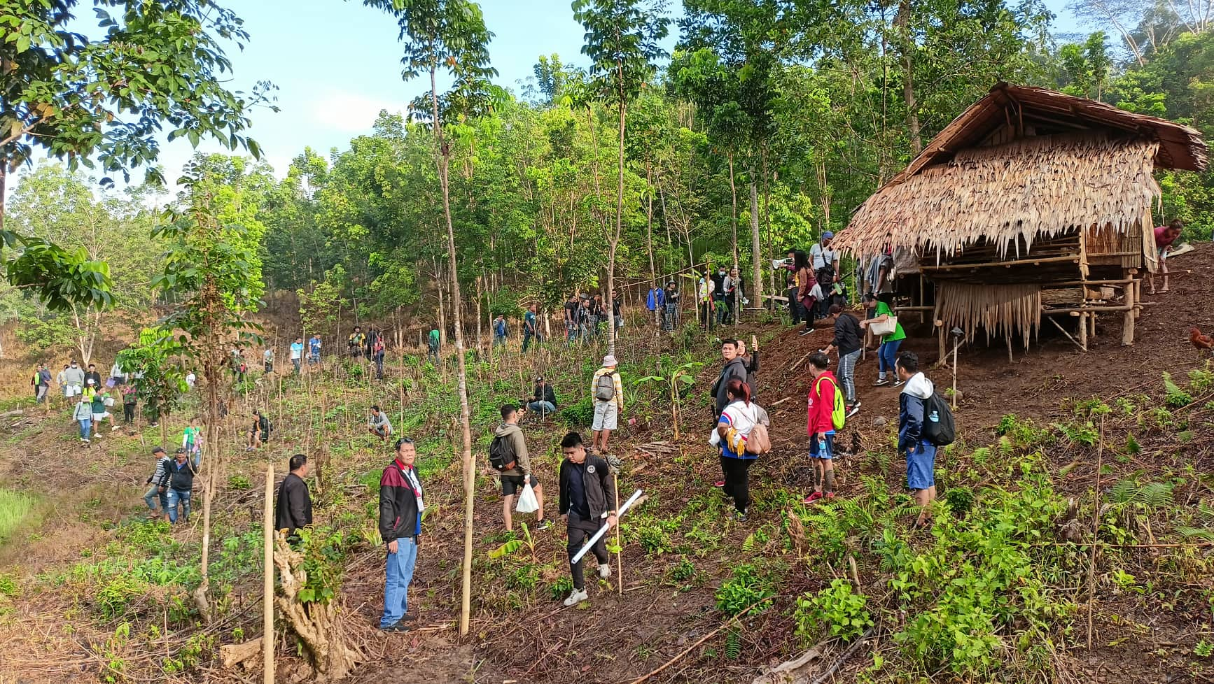
Participants making their way up a planted hillside past a thatched field shelter
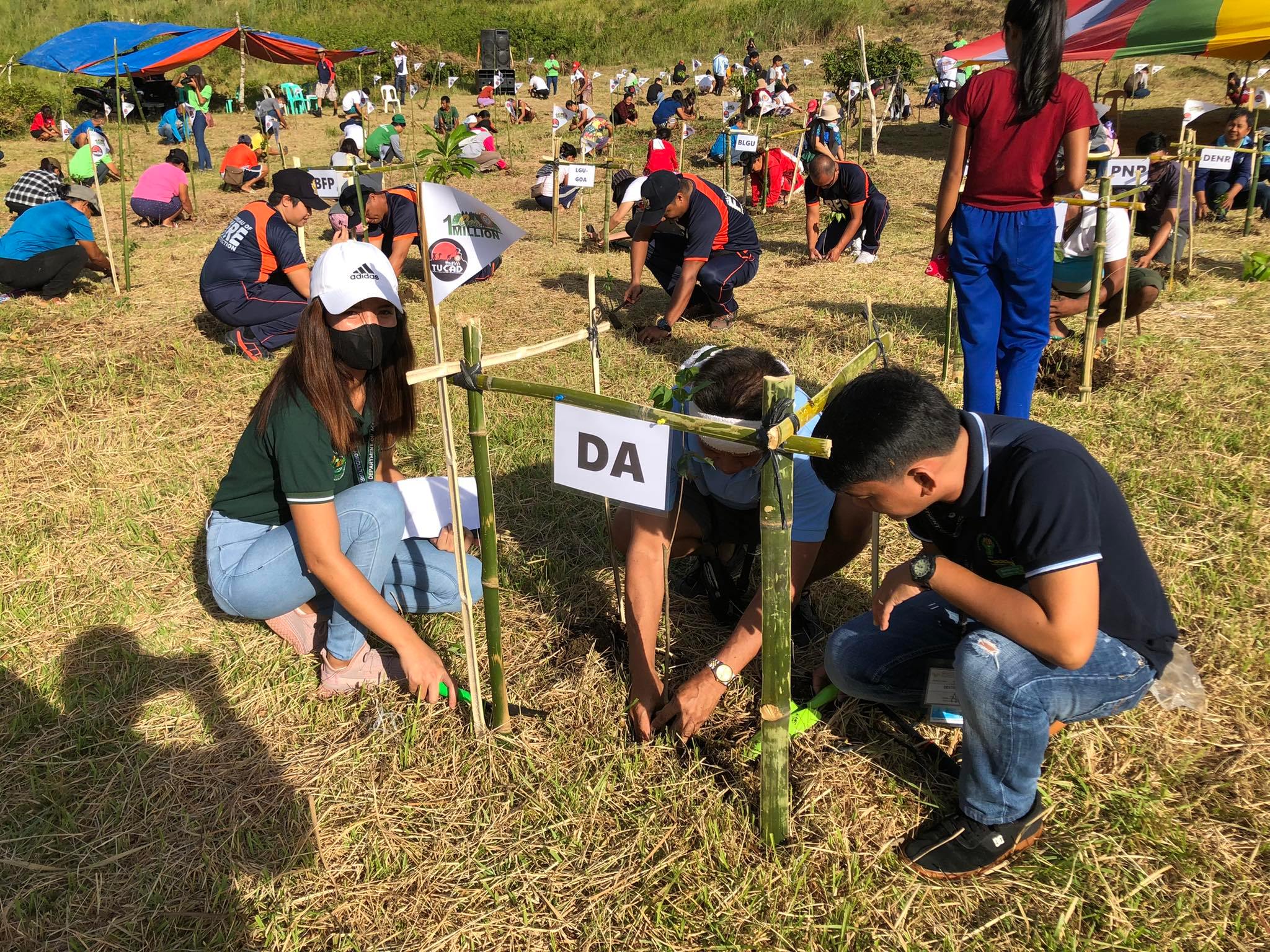
Teams from several agencies planting in marked plots, each plot flagged with the name of the office working it
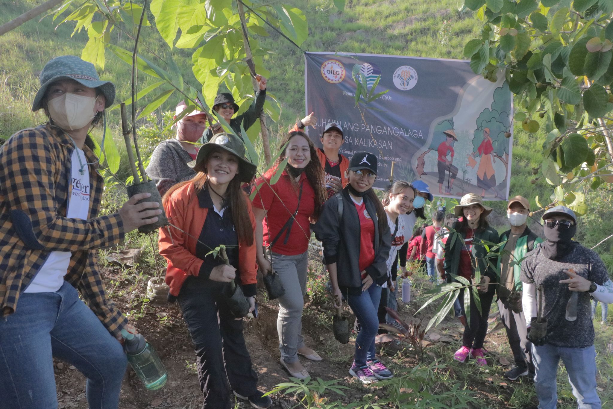
Volunteers holding seedlings beside a banner reading Suhayin ang Pangangalaga sa Kalikasan
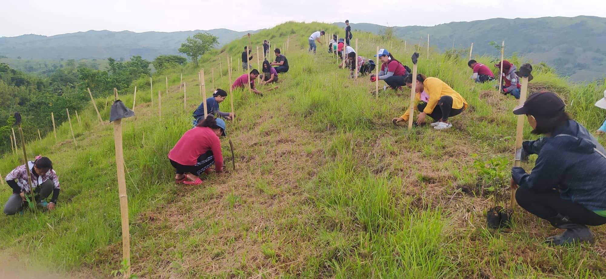
A line of volunteers planting seedlings along a grassy ridge, bamboo stakes marking each hole, hills behind
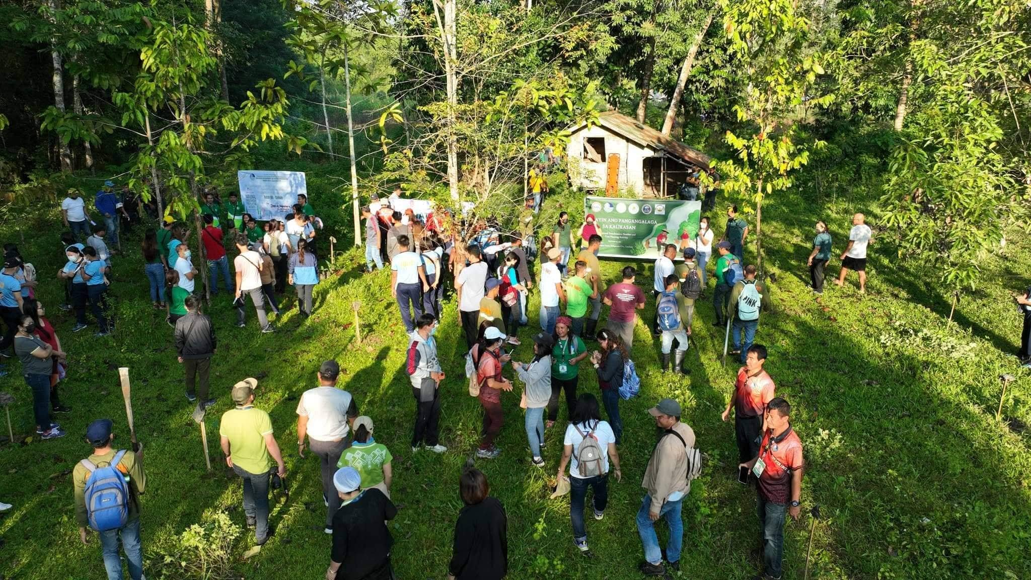
Aerial view of a large group assembled at a planting site, banners set up among the young trees
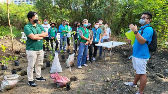
A briefing on site before planting begins, with sacks of seedlings waiting at the edge of the plot
Get to know us

One platform for smarter reforestation

PuNoObservation is a web-based decision support platform that helps DENR, CENRO, environmental organizations, and community leaders manage reforestation projects across Eastern Pangasinan.

It centralizes planting site records, geospatial mapping, species recommendations, and progress monitoring into one shared system, making environmental data more accessible and decision-making more efficient.

A Web-Based Decision Support Platform for Tree Species Recommendation and Reforestation Management with Geospatial Visualization in Eastern Pangasinan.

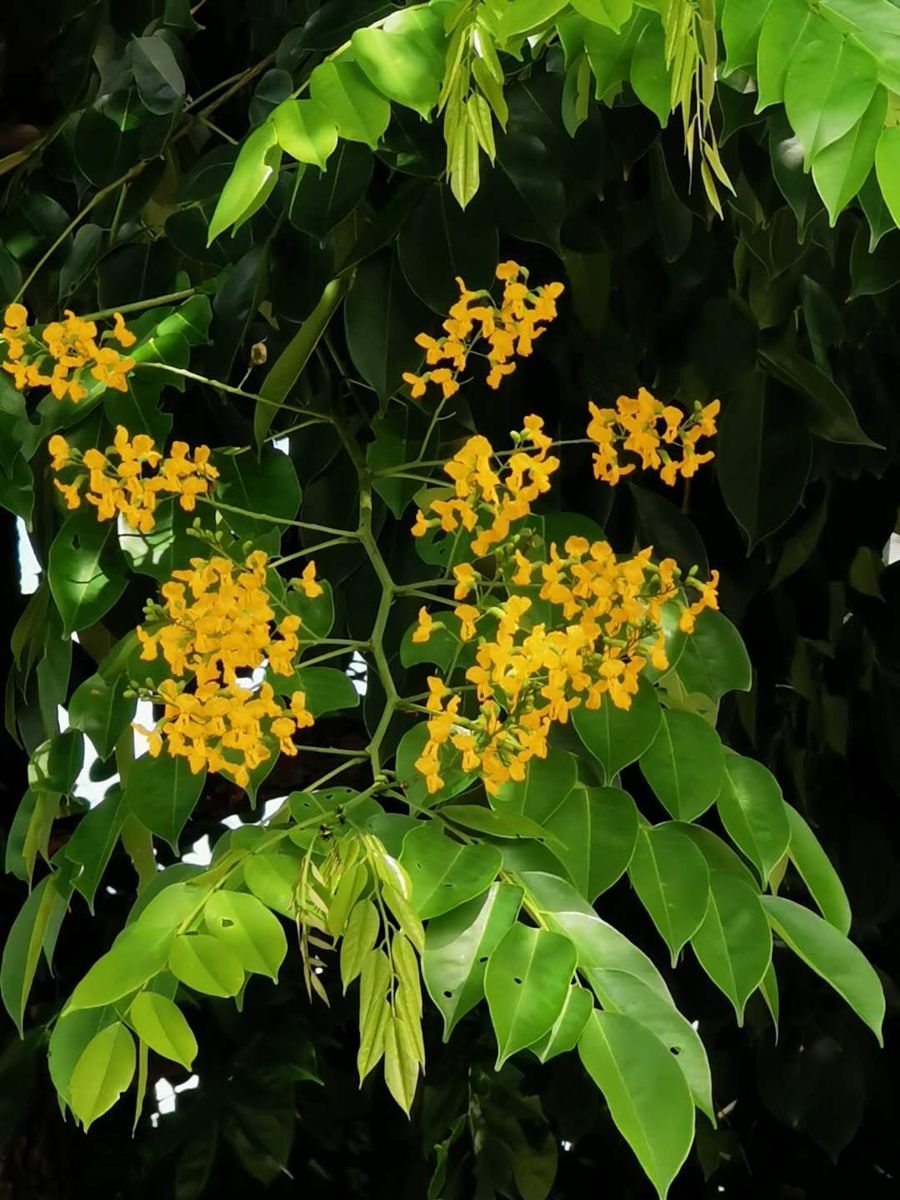
Narra (Pterocarpus indicus) in flower

Pterocarpus indicus

Narra

0–600 m elevation · 900–4,000 mm rain · sandy loam, clay loam

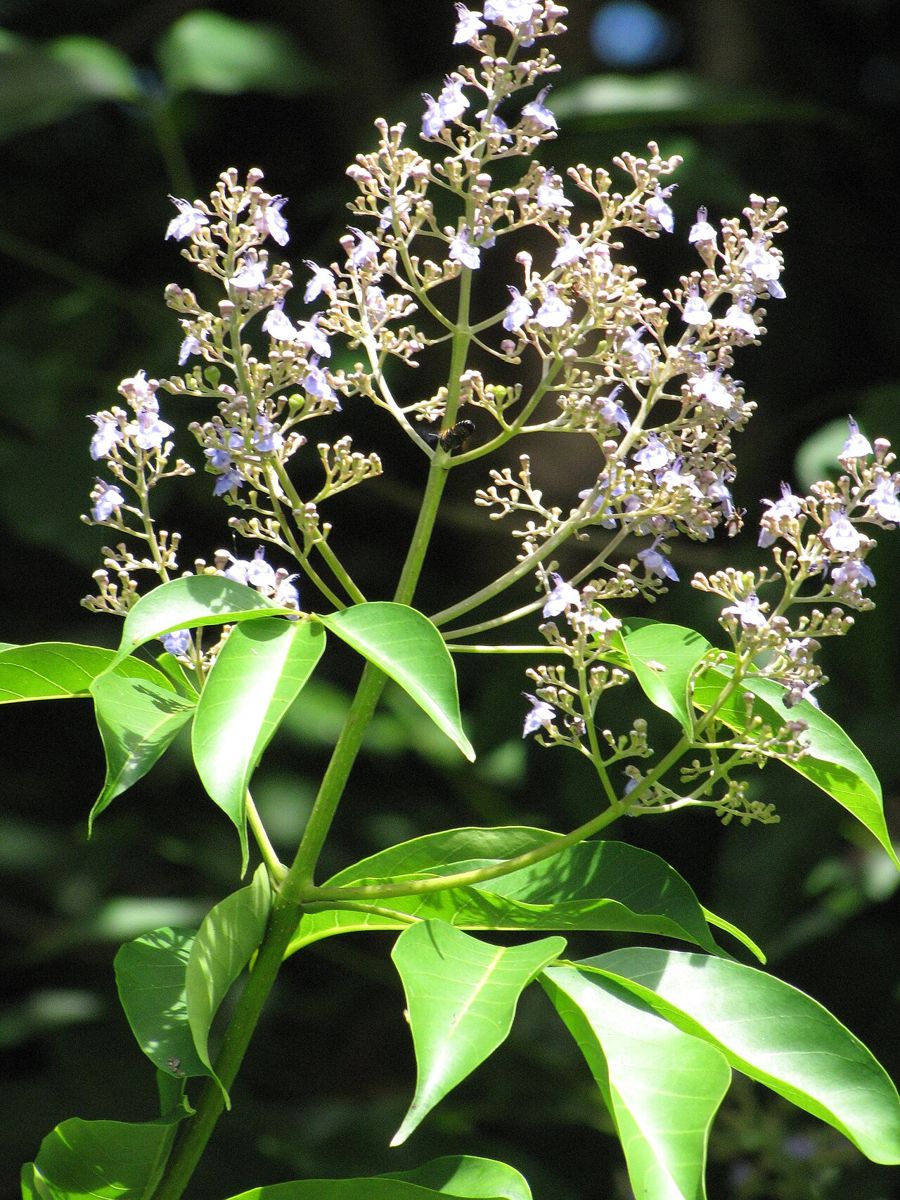
Molave (Vitex parviflora) flowers and leaves

Vitex parviflora

Molave

0–700 m elevation · 800–2,500 mm rain · clay loam

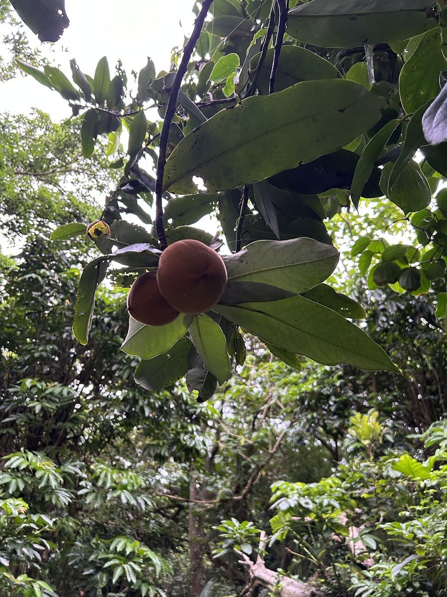
Kamagong (Diospyros blancoi) fruit on the tree

Diospyros blancoi

Kamagong

0–800 m elevation · 1,600–3,000 mm rain · clay loam, silt loam

A tall Ipil tree (Intsia bijuga)

Intsia bijuga

Ipil

0–600 m elevation · 1,500–3,000 mm rain · sandy loam, sand

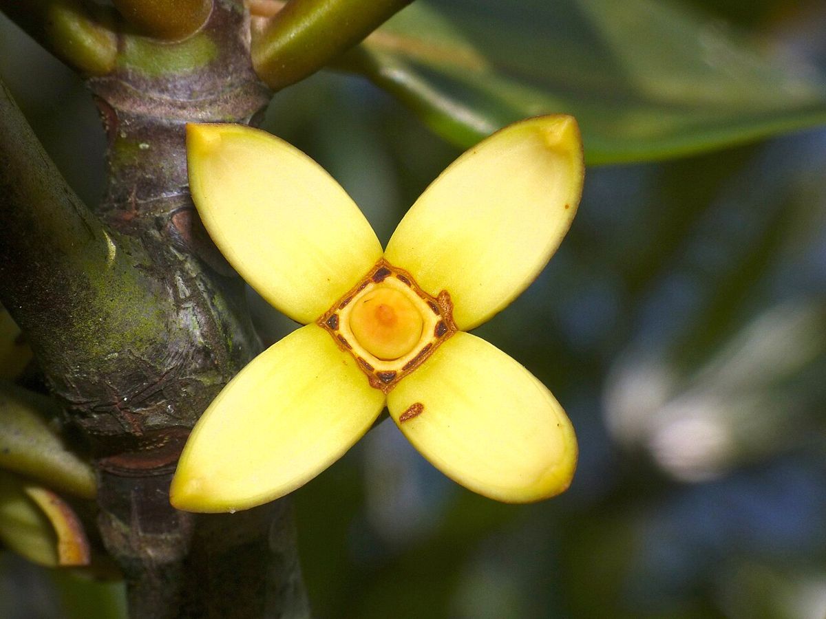
Bakawan lalake (Rhizophora apiculata) flower

Rhizophora apiculata

Bakawan Lalake

0–5 m elevation · 1,500–4,500 mm rain · silt loam, silty clay loam

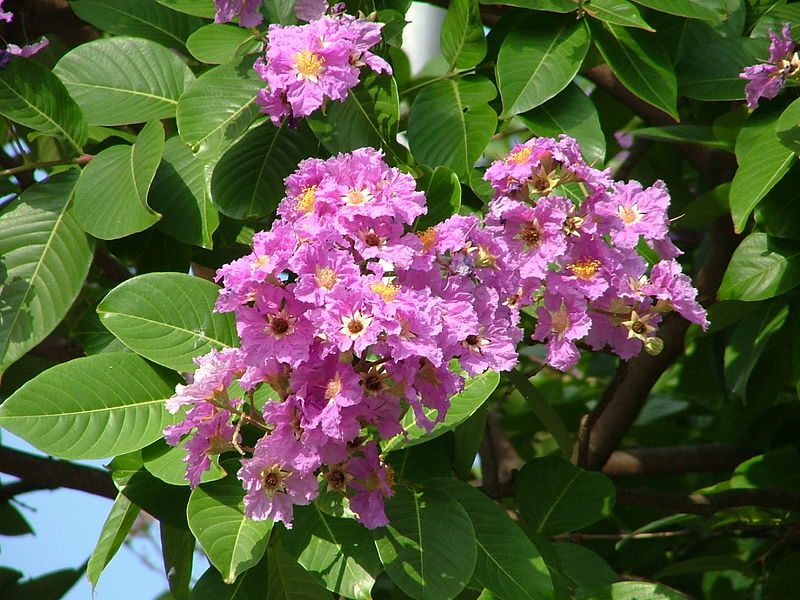
Purple Banaba (Lagerstroemia speciosa) flowers

Lagerstroemia speciosa

Banaba

0–800 m elevation · 1,300–3,500 mm rain · silt loam, clay loam

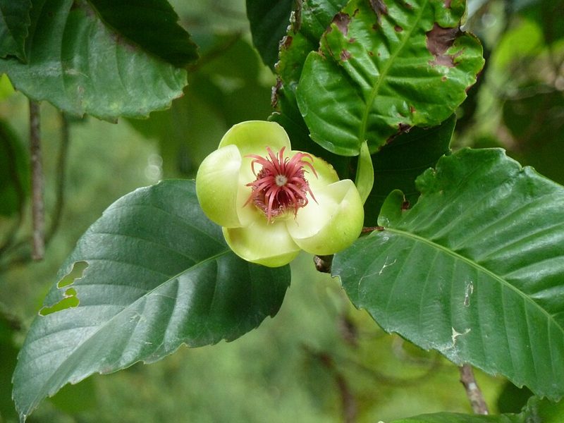
Katmon (Dillenia philippinensis) flower among broad leaves

Dillenia philippinensis

Katmon

0–1,000 m elevation · 1,800–4,000 mm rain · clay loam, silt loam

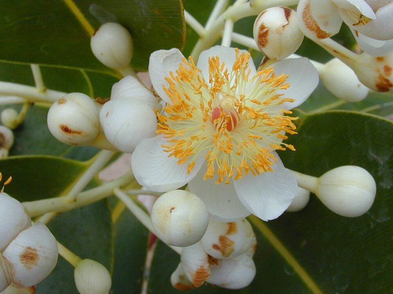
White Bitaog (Calophyllum inophyllum) flowers

Calophyllum inophyllum

Bitaog

0–200 m elevation · 1,200–4,000 mm rain · sand

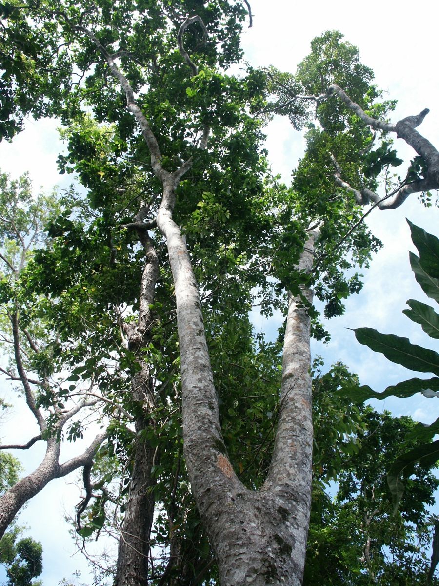
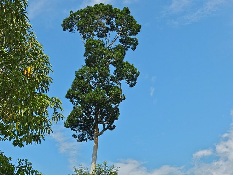
A tall Bagtikan tree (Parashorea malaanonan) against the sky

Parashorea malaanonan

Bagtikan

0–700 m elevation · 2,000–5,000 mm rain · sandy loam, silt loam, clay loam

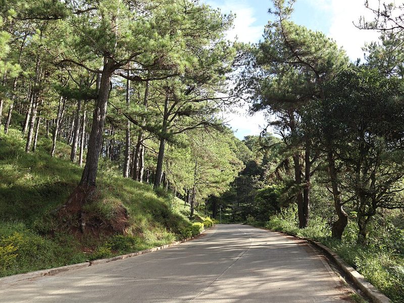
Benguet pine (Pinus kesiya) forest along a mountain road

Pinus kesiya

Benguet Pine

300–2,700 m elevation · 1,500–3,500 mm rain · sandy loam, sand

Photos from Wikimedia Commons. Narra: Ping an Chang (CC BY-SA 4.0), Molave: Forest and Kim Starr (CC BY 3.0 us), Kamagong: Bella Lin (CC BY 4.0), Ipil: Denis.prévôt (CC BY-SA 3.0), Bakawan Lalake: Bernard DUPONT (CC BY-SA 2.0), Banaba: Lokenrc (CC BY 2.5), Katmon: wlcutler (CC BY 2.0), Bitaog: Forest & Kim Starr (CC BY 3.0), Bagtikan: Bernard DUPONT (CC BY-SA 2.0), Benguet Pine: Patrickroque01 (CC BY-SA 4.0). Ranges from the World Agroforestry Centre (ICRAF).

One connected platform

Integrated features for
reforestation management

From identifying the right site to tracking every seedling, each tool connects field activity to one reliable source of truth.

Available features depend on your account role. Administrators, Field Officers, and Normal Users each see a tailored set of tools.

01

Overview

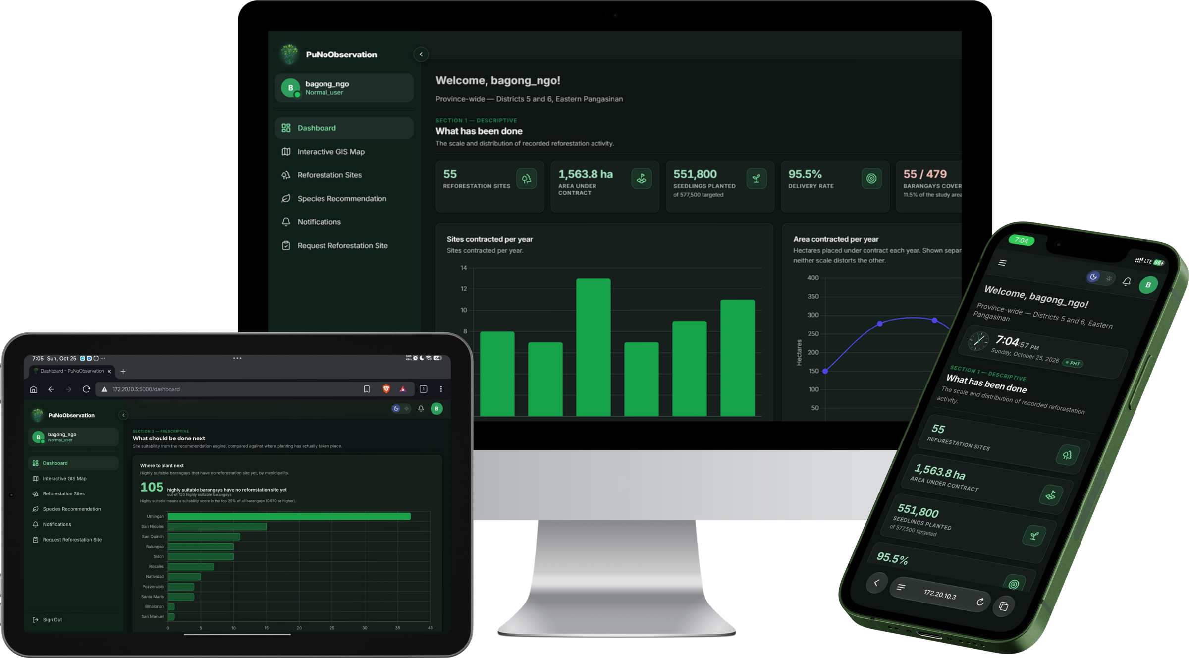
A dashboard built for action

See sites, contracted area, seedlings planted, and delivery rates for Districts 5 and 6 at a glance, with clear charts that turn field data into next steps.

The dashboard on a desktop, tablet and phone: reforestation totals, sites and area contracted per year, and where to plant next
02

Mapping

Interactive GIS map and heatmap

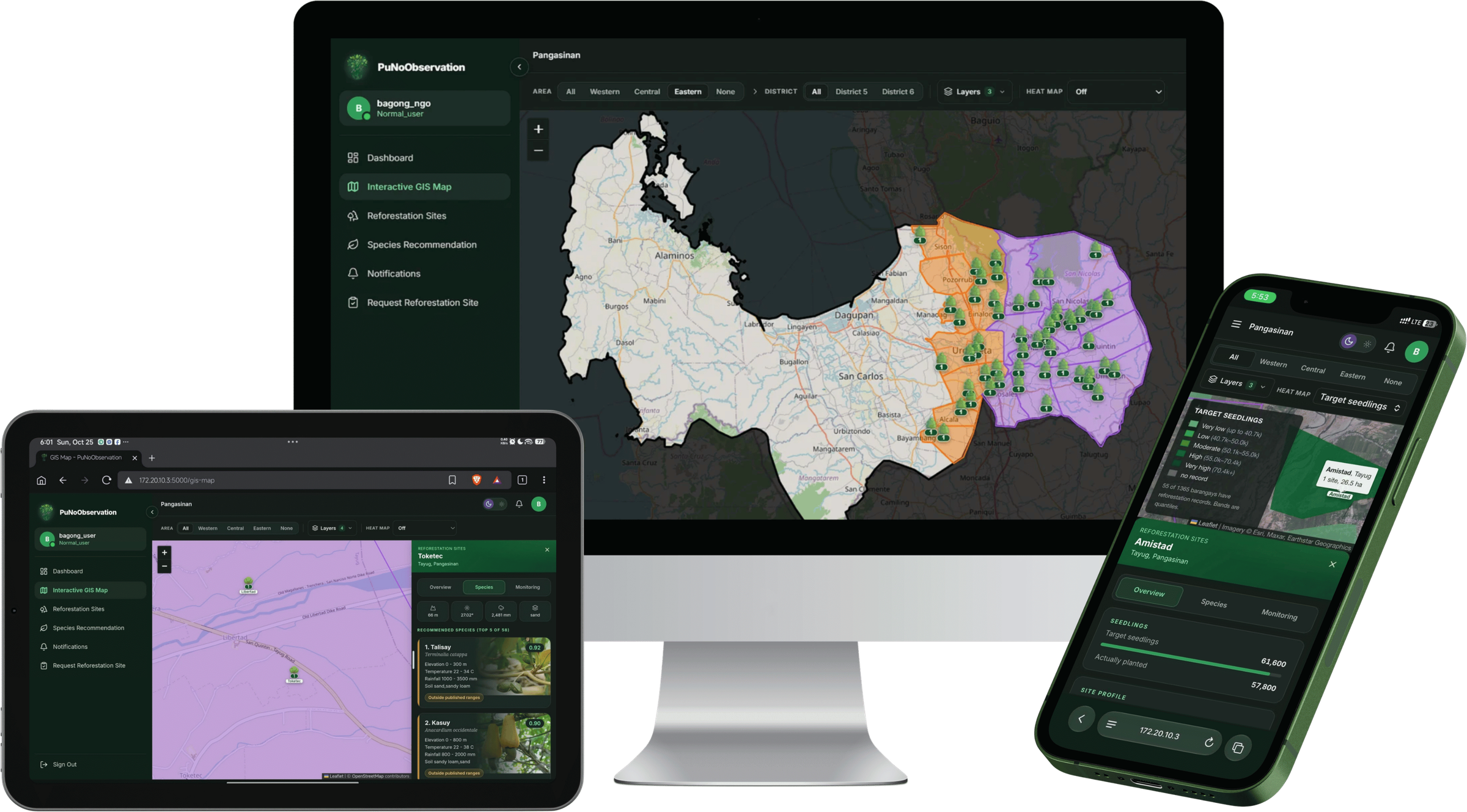
Every planting site across Eastern Pangasinan on one live map, with a density heatmap showing where reforestation activity is concentrated by barangay and municipality.

Open the map

The GIS map on a desktop, tablet and phone, with Eastern Pangasinan's districts shaded, planting sites marked, and a site's details open
03

Species matching

Plant the right tree in the right place

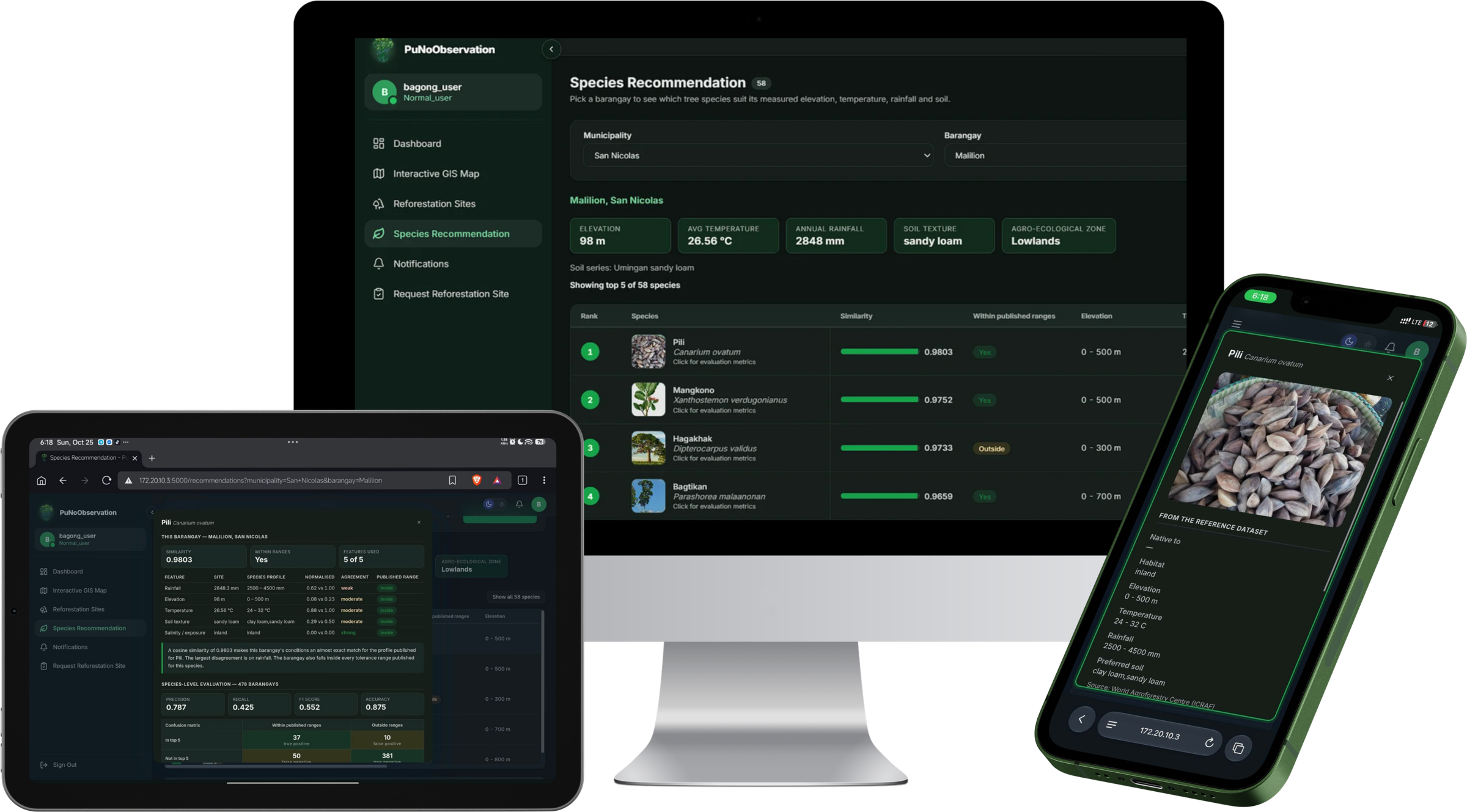
Rank native species by how well they suit a site's soil, elevation, and climate, so every planting plan starts from what the ground can actually support.

Species recommendation on a desktop, tablet and phone: native species ranked by similarity for a barangay, a species' evaluation metrics, and its reference profile
04

Site requests

Clear requests, accountable decisions

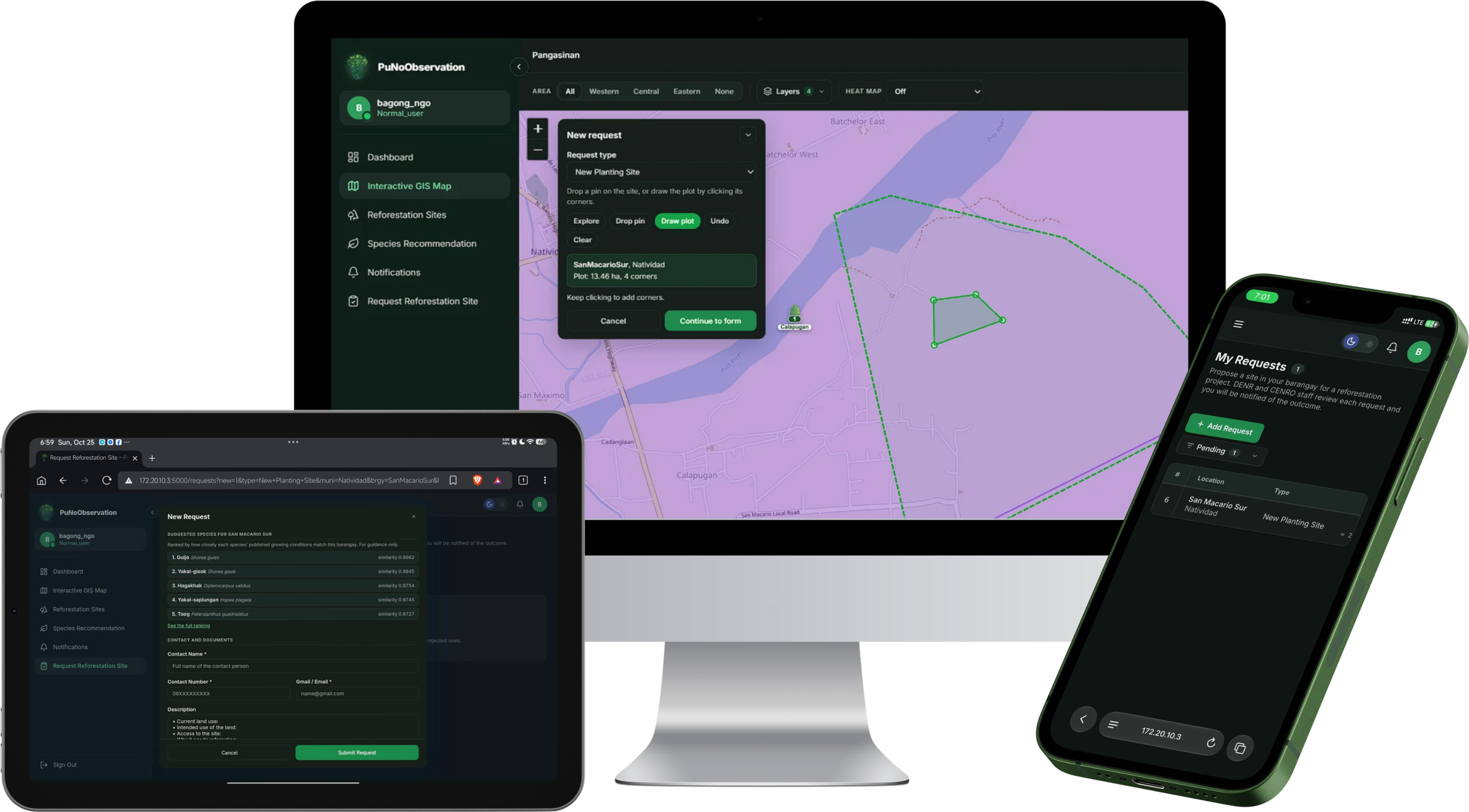
Anyone can propose a planting site. Administrators review it, and every decision is tracked against the record so nothing is decided off the books.

Requesting a reforestation site on a desktop, tablet and phone: drawing the plot on the map, the request form with suggested species, and the list of submitted requests

Everything works together

More features. One shared mission.

Practical tools for every role, from field officers gathering data to administrators turning it into better decisions.

See what is already on the map

Create an account to submit a reforestation site, or open the map and look at the sites that are already recorded.

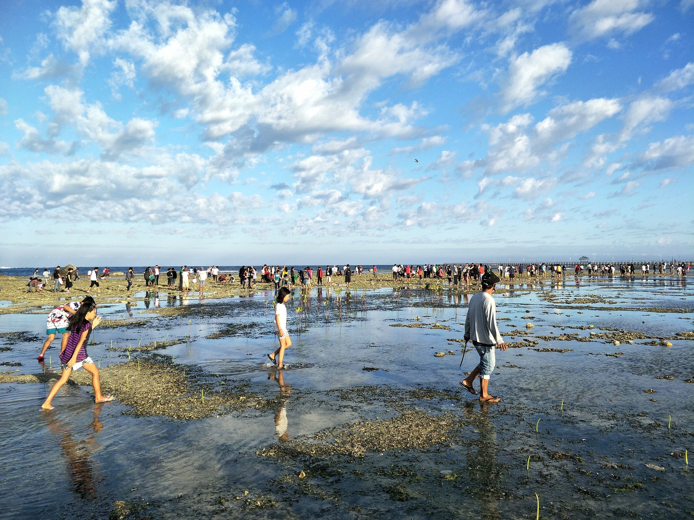
Photo: mangrove planting by Peter Snoball (CC BY-SA 4.0), Wikimedia Commons.